The Port of London Authority (PLA) has responsibility for the management of safe navigation and conservancy of 400sq miles along 95 miles of river and estuary and was the No.1 port in the UK w.r.t tonnage in 2021 with further growth forecast. In addition, within the central London area over 10M passengers are transported on the river annually with a pre-covid estimate of that rising to 20M by 2035. The PLA’s Hydrographic Team has a broad remit including the production and maintenance of over 300 published navigational products annually,derived from 200 safety of navigation surveys as well as supporting Conservancy responsibilities including tidal data analysis, dredging and support of environment, estates, and licensing functions, this is achieved whilst also offering a range of commercial survey services.
In supporting our core function of safety of navigation support for mariners commercial and recreational, much or our work focusses on operational support to harbour masters and our130 pilots undertake over 12000 pilotage acts annually. This includes passage planning, data analysis and GIS services to deliver accurate and timely hydrographic data. Whether it’s planning the safe passage of the world’s largest container ship or design and monitoring support to major marine infrastructure projects our work demands an innovative approach and application of new technologies.
This presentation will give an overview of our approach to the emerging disruptive technologies with respect to remote and autonomous survey platforms, their data, and the delivery mechanisms to get that data to the end users. A timeline will be presented covering ASV and UAV platforms and where we have identified they can be used to deliver safer, more efficient and more sustainable port hydrographic functions. We will also present a look ahead to some new challenges that need addressing and how we see the strengths that a strong port hydrographic team can support some of the major challenges ahead for a major port such as the Port of London. Port Surveying and Remote Hydrography – a combination of contradictory words , we hope we can convince those attending otherwise !
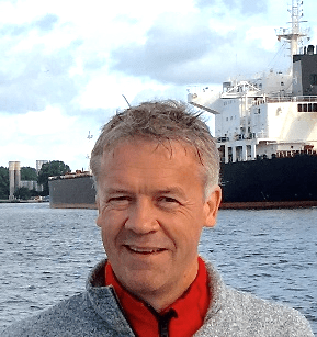
John Dillon-Leetch

John started his career afloat as an offshore surveyor and party chief in the Oil and Gas sector Overseas and in the North Sea, moving to the Port of London Authority (PLA) in 1996 where he worked as a surveyor for 10 years, becoming the Deputy Hydrographer and Commercial Manager in 2005 and laterally Port Hydrographer in 2019.
John is responsible for the surveying and charting of the 400 sq. miles of the river Thames and estuary, from the tidal limit in the west out to the southern North Sea, some 95 miles. The “Hydro” team as they are known is the busiest port hydrographic department in the UK, comprising 18 employees in total and utilising 3 dedicated survey craft fitted with a range of advanced surveying systems.
Surveys are primarily conducted for safety of navigation, but a significant effort goes into conservancy and environmental monitoring surveys, as well as detailed engineering works and major infrastructure project support.
John is a Chartered Marine Scientist through IMarEST and sits on the Board of the Hydrographic Society. John also is involved in delivering an MSc in Hydrographic Surveying at UCL.
John is a keen sailor, holding an RYA Offshore Masters qualification, he competes as a rower on the PLA’s Thames Waterman’s cutters and has been known to support Ireland in the rugby!
